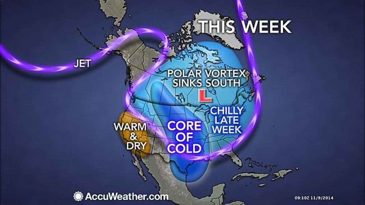
While we’re cleaning up fall leaves in southern Ontario, Canada’s west coast & the US are facing a return of the Polar Vortex.
Environment Canada issued cold weather statements for all of British Columbia and parts of Alberta on Sunday, with temperatures expected to plummet up to 10 degrees Celsius below the seasonal norm. Several centimeters of snow had accumulated in Calgary by Sunday morning, with more expected throughout the day, while other areas of Alberta expected to see heavy snowfall throughout the day and into the night.
The U.S. is already bracing for the full force of the Arctic blast. Temperatures will plummet well below their November averages across the country, with Minnesota expecting record-breaking snowfalls.
How will this affect us here in Southern Ontario?
While heavy snow & freezing rain is expected in the Nickel Belt and northern Ontario, above-freezing temperatures will prevent southern Ontario from seeing any mixing or snow but a possible thundershower is not out of the question as the system passes.
According to the Weather Networks, Guelph, Cambridge & Kitchener Waterloo can expect some light flurry’s on Thursday, while Mississauga & Oakville and Burlington may be in for some wet snow or mixed precipitation.
Read more here www.ctvnews.ca/canada/polar-vortex-returns-with-arctic-blast-for-parts-of-canada-1.2094210 and here www.accuweather.com/en/weather-news/polar-vortex-42-states/37049255
